REGIONAL COASTAL MANAGEMENT PLANS
Data aggiornamento scheda: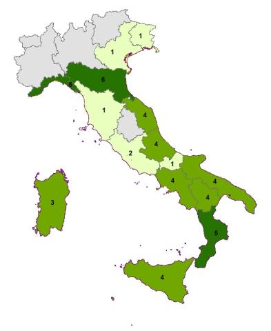
The indicator is the result of the regional recognition of the state of planning relative to the coastal strip. 11 coastal regions out of 15 have regional planning tools extended to the management and protection of the coastal territory and some are preparing a second regional plan, distinguishing with greater clarity that intended for the protection and protection of the coasts from that oriented to the development and coordination of socio-economic activities.
The analysis of the indicator shows in recent years an overall acceleration of the planning processes and, although not measurable by the indicator, numerous initiatives to update and refine the tools already adopted. The reason for this increased activity is believed to be partly linked to the growing sensitivity to the erosion problem, and partly to depend on the introduction into the basin planning of the Flood Risk Management Plan, which requires the assessment of danger and risk for coastal flooding.