GEOSITES
Data aggiornamento scheda:
The indicator expresses the number of geosites, geological sites of such importance as to warrant interest in their conservation and protection, which to date have been identified, described and inventoried in the ISPRA Geosites database. As of 30 September 2025, there are approximately 2,100 geosites.
UPDATE OF OFFICIAL GEOLOGICAL MAPPING
Data aggiornamento scheda:
The Geological Mapping Project of Italy at 1:50,000 scale (CARG Project) aims to achieve full coverage of the Italian territory through the production of the 634 map sheets that make up the Geological Map of Italy at 1:50,000 scale.
ENERGY RESOURCE EXTRACTION SITES: OIL AND GAS
Data aggiornamento scheda:
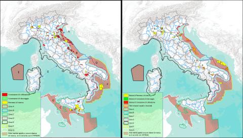
The indicator quantifies fossil fuel mineral resource extraction activities (oil and gas) in Italy, providing data on site locations, production, reserves, and potential environmental impacts. As of 30 November 2024, there are 154 production concessions (55 offshore), 23 exploration permits (6 offshore), and 15 gas storage concessions, mostly concentrated in the Po Valley. Oil production, concentrated in Basilicata (91% of the national total), remains stable, while gas production is declining, with 3 billion Sm³ extracted in 2023. The suspension of exploration activities since 2019 and the introduction of the PiTESAI plan have reduced the number of concessions, thereby mitigating environmental impact. Italy's proven reserves amount to 41.8 billion Sm³ of gas (65.2% onshore) and 84.6 million tonnes of oil, mainly in Basilicata and Sicily.
ENERGY RESOURCE EXTRACTION SITES: GEOTHERMAL ENERGY
Data aggiornamento scheda:
In Italy, geothermal energy, renewable and sustainable, is concentrated in 10 concessions in Tuscany with 34 plants that, in 2023, produced 5,692 GWh, covering 31% of the regional demand and 70% of Tuscany's renewable energy sources.
The direct uses of geothermal heat (climate control, spa use, district heating) and geothermal heat pumps, about 20,000, are growing but still underutilized compared to Northern European countries. The environmental impact is limited and mitigated by abatement systems (AMIS) and reinjection of fluids. Italian resources, concentrated in the Tuscan-Lazio area, also show potential for recovery of strategic elements such as lithium, crucial for the energy transition.
FIRST CATEGORY MINERAL EXTRACTION SITES (MINES)
Data aggiornamento scheda:
The indicator considers extraction sites for first-category minerals, as classified by current regulations, excluding fluid energy sources and mineral and/or thermal water springs, present in the national territory from 1870 to the present. It serves a dual purpose: identifying potential mineral deposits still exploitable with sustainable techniques and locating potential sources of pollution associated with past extraction methods.
Of the 3,016 sites that have been operational in the past 150 years, only 94 currently hold valid concessions, and 76 sites were active in 2020. 562 abandoned or decommissioned mining sites present a medium to high ecological and health risk. Several museum sites have been integrated into the National Network of Mining Museums and Parks (REMI), coordinated by ISPRA.